Showing 20 items matching victorian regional maps
-
 Victorian Aboriginal Corporation for Languages
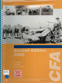
Map, Country Fire Authority, Region 6 rural directory, 2000
... Victorian regional maps... regional maps fire protection Country Fire Authority ...maps, b&w photographscolac, lismore, cressy, lake corangamite, camperdown, terang, cobden, peterborough, port campbell, apollo bay, forrest, victorian regional maps, fire protection -
 Victorian Aboriginal Corporation for Languages
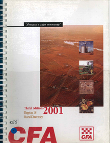
Map, Country Fire Authority, Region 18 rural directory, 2001
... Victorian regional maps... emergency services Victorian regional maps Country Fire Authority ...Maps, colour photographsswan hill, mildura, mallee, fire protection, emergency services, victorian regional maps -
 Victorian Aboriginal Corporation for Languages
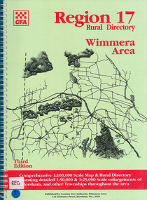
Map, Country Fire Authority, Region 17 rural directory : Wimmera area, 1997
... Victorian regional maps... regional maps Country Fire Authority ...mapshorsham, wimmera, west wimmera, hindmarsh, yarramback, grampians, fire protection, emergency services, victorian regional maps -
 Victorian Aboriginal Corporation for Languages
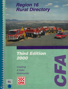
Map, Country Fire Authority, Region 16 rural directory, 2000
... Victorian regional maps... Victorian regional maps Country Fire Authority ...maps, colour photographsararat, fire protection, emergency services, maps, victorian regional maps -
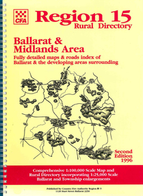 Victorian Aboriginal Corporation for Languages
Map, Country Fire Authority, Region 15 rural directory : Ballarat &? Midlands Area : fully detailed maps &? roads index of Ballarat &? the developing areas surrounding, 1996
... Victorian regional maps... protection Victorian regional maps emergency services Country Fire ...mapsballarat, fire protection, victorian regional maps, emergency services -
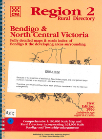 Victorian Aboriginal Corporation for Languages
Map, Country Fire Authority, Region 2 rural directory : Bendigo &? North Central Victoria: fully detailed maps &? roads index of Bendigo &? the developing areas surrounding, 1996
... Victorian regional maps... fire protection Victorian regional maps directories Country ...mapsbendigo, loddon, fire protection, victorian regional maps, directories -
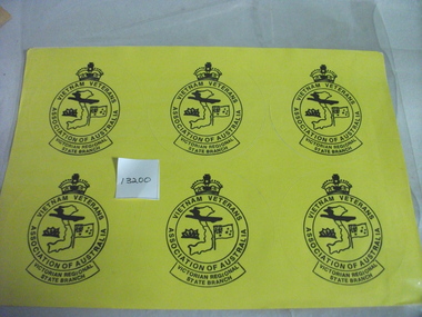 National Vietnam Veterans Museum (NVVM)
Memorabilia, Stickers
... ,Victorian Regional State Branch. Vietnam map in centre with Anzac...,Victorian Regional State Branch. Vietnam map in centre with Anzac ...Twelve yello stickers (round) with black printing. Circle with crown at top. Vietnam Veterans Association of Australia,Victorian Regional State Branch. Vietnam map in centre with Anzac Badge and Australian Flag either side.stickers, vietnam veterans association of vic -
 Kiewa Valley Historical Society
Report - Alpine Study Area Volume 2 Maps, Land Conservation Council, 1970s
The Victorian Environmental Assessment Council and the former Environment Conservation Council (ECC) and Land Conservation Council (LCC) have completed 36 land use investigations over more than 35 years, including 27 regional reviews. They provide a framework for use of Public Land in Victoria. The Land Conservation Council was established by the Land Conservation Act 1970.These maps provide an assessment of the Alpine area at the time the maps were created. Some of the topics eg. Rainfall and water resources may change over the years thus providing a comparative analysis. Others may provide information for future development such as mineral exploration, building of a dam / tunnel etc.Blue box shaped folder containing 9 of 10 Maps of the Alpine Study Area produced by the Land Conservation Council. Maps include 1. Public land and descriptive blocks. 2. Physiography. 3. Topography. 4. Geology (missing). 5. Rainfall and water resources. 6. Vegetation 7. Land systems. 8. Recreation. 9. Primary production. 10. Minerals Ex library item. Stamped in red "Discarded From Stock / Swan Hill Regional Libraryalpine area, maps of alpine area, land conservation council -
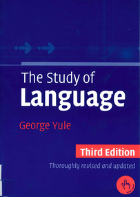 Victorian Aboriginal Corporation for Languages
Book, George Yule, The study of Language, 2006
Issues in language study: origin of language, animals & human language, writing, phonetics, phonology, words & word-formation processes, morphology, grammar, syntax, semantics, pragmatics, discourse analysis, language and the brain, language acquisition, gestures and sign languages, languages and regional variation, language and social variation, language and culture.B&w illustrations, b&w photographs, mapslinguistics, sociolinguistics, history and language -
 Victorian Aboriginal Corporation for Languages
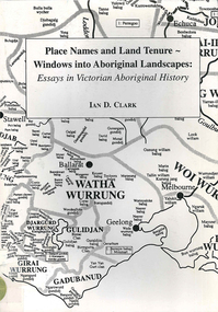
Book, Ian D Clark, Place names and land tenure : windows into Aboriginal landscapes : essays in Victorian Aboriginal history, 1998
This work is a collection of twelve essays that are concerned with place names, clan organisation and local and regional Aboriginal history.maps, document reproductionsdjab wurrung, ngengen wurrung, koroitgundidj, dhauwurud wurrung, djab wurrung, barababaraba, daung wurrung, taungurung, dja dja wurrung, jardwadjali, jodajoda, yorta yorta, nguri-illam wurrung, waywurru, koroit, buangor, mt eccles, mt napier, langi ghiran, grampians national park, massacres, clan organization, land tenure, george augustus robinson, samuel carter, aldo massola, alfred william howitt -
 Victorian Aboriginal Corporation for Languages
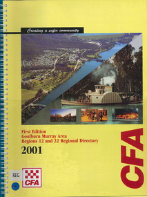
Map, Country Fire Authority, Goulburn Murray Area regions 12 and 22 regional directory, 2001
mapsgoulburn river, fire protection districts, northern victoria -
 Victorian Aboriginal Corporation for Languages
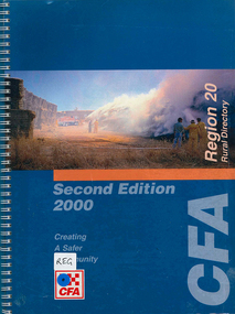
Map, Country Fire Authority, Region 20 rural directory, 2000
mapskerang, regional maps, atlas, fire protection -
 Victorian Aboriginal Corporation for Languages
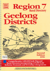
Map, Country Fire Authority, Region 7 rural directory Geelong districts, 1996
Shows roads, railway, power lines, buildings and emergency locations. Lists property owners.mapsgeelong, regional victoria, fire protection -
 Victorian Aboriginal Corporation for Languages
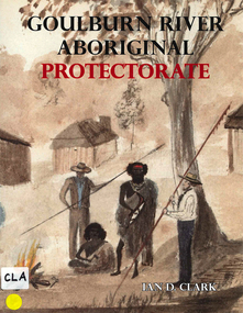
Book, Ian D Clark, Goulburn River Aboriginal Protectorate : a history of the Goulburn River Aboriginal Protectorate Station at Murchison, Victoria, 1840 - 1853, 2013
This study explains why the locality of what is now known as Murchison is one of the most important historic Aboriginal places in regional Victoria.maps, b&w illustrations, b&w photographs, document reproductionsngurai-illam balug, ngurai-illam wurrung, daungwurrung, yaithmathang, yortayorta, yorta yorta, bangerang, murchison, murnang, george augustus robinson, goulburn river aboriginal protectorate, goulburn river region, victorian history -
 Victorian Aboriginal Corporation for Languages
Book, Edgar Morrison, The Loddon Aborigines : tales of old Jim Crow, 1971
This regional survey is the last of a trilogy, each of which deals with a particular aspect of living conditions and racial relationships in the Loddon watershed in the early Colonial days.maps, b&w photographsloddon -
 Victorian Aboriginal Corporation for Languages
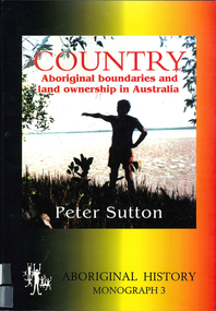
Book, Peter Sutton, Country : Aboriginal boundaries and land ownership in Australia, 1995
Critique of Davis and Prescott Aboriginal frontiers and boundaries in Australia and map, Davis, S. Australias extant and imputed traditional Aboriginal territories; uses anthropological and linguistic evidence to expose inaccuracies and lacunae in book and map; appended are comments on the Davis map by regional specialists.Maps, colour photographsindigenous land boundaries -
 Federation University Art Collection
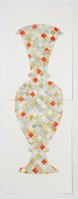
Artwork, other - Handcut & Collaged maps on paper, 'Survey Vessel I' by Carole Wilson, 2008
Carole WILSON (1960- ) Born Australia Carole Wilson is a practicing visual artist who has chosen central motifs in her work, which she incorporates throughout a series. The urn has been a unifying motif in Wilson's map work and testifies to the way in which function drives form across cultures. Carole's work is held in many public collections including the National Gallery of Australia, the Powerhouse Museum, State Library of Victoria and a number of regional Victorian galleries. Her posters are in museum collections in Finland, Moscow and Poland. In 2001 Dr Wilson was awarded a Doctor of Philosophy (Visual Art) from the University of Ballarat (Now Federation University). She graduated with a Graduate Diploma in Education from University of Ballarat in 1987, and a Diploma of Art from the Phillip Institute of Technology (RMIT) in 1984. Carole Wilson lectures at Federation University Australia: 2010- Senior Lecturer in Visual Arts, Honours and Research Degrees Co-ordinator 2009-2011 Lecturer in Studio Practice and Postgraduate Co-ordinator 1999-2008 Lecturer in Visual Arts (Sessional) This item is part of the Federation University Art Collection. The Art Collection features over 2000 works and was listed as a 'Ballarat Treasure' in 2007. Donated through the Australian Government's Cultural Gifts Program by Anne M. Drum, 2011art, artwork, carole wilson, maps, urn, alumni, available -
 Victorian Railway History Library
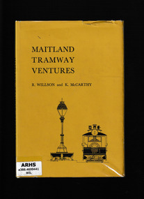
Book, South Pacific Electric Railway, Maitland tramway ventures, 1965
Apart from Broken Hill, Maitland was the only New South Wales regional city to have a tramway systemIndex, bib, ill, maps, p.79.non-fictionApart from Broken Hill, Maitland was the only New South Wales regional city to have a tramway systemtramways - maitland, steam trams - maitland -
 Wodonga & District Historical Society Inc
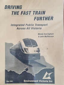
Booklet - Driving the Fast Train Further, Wendy Everingham and John McPherson, May 2001
This document is a response by Environment Victoria to the Fast Train Report. It advocates the establishment of an integrated transport approach in Victoria including the need for a Rural and Regional Planning Strategy to be developed in conjunction with the Metropolitan StrategyA publication of 34 pages produced by Environment Victoria Inc. It has brown cover featuring an image of a locomotive superimposed over an outline map of Victoria. It consists of 36 pages including appendices, references, a map of an Environment Victoria Enhanced Victorian Passenger Rail Network and a map of the Victoria's Regional and Rural Bus service.fiction This document is a response by Environment Victoria to the Fast Train Report. It advocates the establishment of an integrated transport approach in Victoria including the need for a Rural and Regional Planning Strategy to be developed in conjunction with the Metropolitan Strategyrailways environmental impact, victorian railways, environment victoria -
 Ballarat Tramway Museum
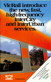
Ephemera - Timetable, Victorian Railways, VicRail timetable Spring 1981, Oct. 1981
.1 - Timetable - 92 page + cover with fold out map, centre stapled. Printed at the time of the introduction of new rolling stock and faster services, both Intercity and Regional. Dated Spring 1981. Shows train services to Ballarat at the time and for the VicRail. Relevant pages including fares and a map have been scanned. .2 - "Fares" - 16 page centre stapled book providing fare information - dated 4/10/1981. .3 - Pocket Timetable - Melbourne Ballarat 22/8/1993 .4 - ditto 16/10/1994 - both .3 and .4 advertise Sorbothan insoles for shoes. See Reg Items 6824, 8116, 8117 and for 1998, 1957, 1981,1993 and 1994 and 2021 respectively.ballarat, railways, vicrail, timetables, fares